Town guide · Derbyshire
Where to park a campervan overnight in Hayfield
There are 29 mapped places for campervans and motorhomes in or within 10 km of Hayfield: 20 campsites, 2 service points (dump stations) and 7 water points. 7 charge a fee; 22 don't state a fee. The nearest service point (dump station) is Whaley Bridge Elsan Point, 5.8 km from the centre.
Most places near Hayfield are also listed in New Mills.
- Places in or near
- 29
- Campsites
- 20
- Aires & parking
- 0
- Dump & water
- 9
- Nearest dump station
- 5.8 km
Places to stay in and near Hayfield
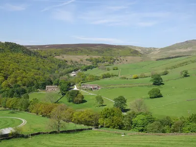 NearbyHayfield Campsite
Campsite · Hayfield · PaidWaterWastePowerToiletsShowers1.0 km from Hayfield centre- chapel view campsite
Campsite · High Peak4.4 km from Hayfield centre - Shaw Farm - Static Caravans
Campsite · New Mills4.7 km from Hayfield centre - Chinley Camping
Campsite · Chinley4.9 km from Hayfield centre 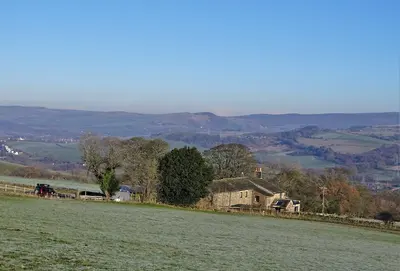 NearbyRingstones Caravan Park
Campsite · Whaley Bridge · PaidWastePowerToiletsShowers5.5 km from Hayfield centre- Campsite near Disley
Campsite · Disley6.0 km from Hayfield centre - Linnet Clough Scout Camp
Campsite · Marple6.3 km from Hayfield centre - Whitmore Lea Campsite
Campsite · High Peak · PaidWater7.4 km from Hayfield centre - Campsite near Longdendale
Campsite · Longdendale7.5 km from Hayfield centre - Boarfold Scout Camp
Campsite · Hyde7.6 km from Hayfield centre - Whitmore Lea Campsite
Campsite · High Peak · PaidWater7.7 km from Hayfield centre - Combs Valley Campsite
Campsite · Chapel en le Frith8.0 km from Hayfield centre - Waterside Farm Camp Site
Campsite · High Peak8.2 km from Hayfield centre - Campsite near High Peak
Campsite · High Peak8.3 km from Hayfield centre - Campsite near Whaley Bridge
Campsite · Whaley Bridge8.3 km from Hayfield centre - Far Benfield Farm Caravan Storage
Campsite · Marple9.0 km from Hayfield centre - Windy Harbour Hotel Caravan and Camping Site
Campsite · Glossop9.2 km from Hayfield centre
Dump stations & water points near Hayfield
- New Mills Marina Water Point
Water point · New MillsWater4.4 km from Hayfield centre - Water point near Chinley
Water point · ChinleyWater4.9 km from Hayfield centre - Bugsworth Basin Water Point
Water point · Whaley BridgeWater5.1 km from Hayfield centre - Whaley Bridge Elsan Point
Service point · Whaley BridgeWaste5.8 km from Hayfield centre - Marple Water Point
Water point · MarpleWater7.8 km from Hayfield centre - Marple Elsan Point
Service point · MarpleWaste7.8 km from Hayfield centre - Water point near Marple
Water point · MarpleWater7.8 km from Hayfield centre - Brownhills Bridge Water Point
Water point · PoyntonWater9.9 km from Hayfield centre
Nearby towns
More in Derbyshire| Town | Distance | Places | Campsites | Aires & parking | Service & water |
|---|---|---|---|---|---|
| New Mills | 3.9 km | 23 | 14 | – | 9 |
| Chinley | 4.3 km | 29 | 20 | – | 9 |
| Whaley Bridge | 5.9 km | 23 | 13 | – | 10 |
| Chapel en le Frith | 6.5 km | 38 | 27 | 1 | 10 |
| Disley | 6.6 km | 23 | 14 | – | 9 |
| High Peak | 6.8 km | 27 | 23 | 1 | 3 |
Counts include places within 10 km of the centre and places whose nearest town is Hayfield. Data from OpenStreetMap, imported 13 October 2026.About our data
Photo credits for thumbnails on this page (6)
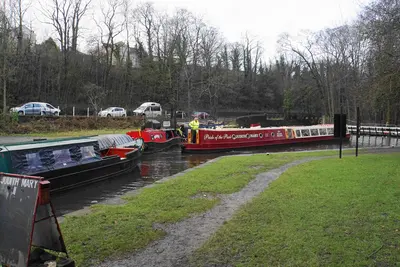
- Nearby: Canal basin at Whaley Bridge · 0.1 km away: Photo: Bill Boaden / CC BY-SA 2.0, via Wikimedia Commons
- Nearby: The River Noe above Upper Booth · 0.2 km away: Photo: Bill Boaden / CC BY-SA 2.0, via Wikimedia Commons
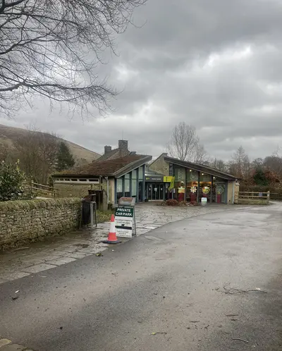
- Fieldhead Campsite Visitor Centre: Photo: Eirian Evans / CC BY-SA 2.0, via Wikimedia Commons
- Nearby: Cooper's Campsite, Edale · 0.1 km away: Photo: Matthew Hammond / CC BY-SA 2.0, via Wikimedia Commons
- Nearby: Hayfield Hill Houses · 0.2 km away: Photo: Clem Rutter, Rochester, Kent. / CC BY-SA 3.0, via Wikimedia Commons
- Nearby: A view of Brownough · 0.4 km away: Photo: Neil Theasby / CC BY-SA 2.0, via Wikimedia Commons


