Seton Sands
Campsite · Cockenzie, East Lothian · 2.1 km from Cockenzie centre
- Wi-Fi
Open data · OpenStreetMap
Fee not recorded
Town guide · East Lothian
There are 5 mapped places for campervans and motorhomes in or within 10 km of Cockenzie: 4 campsites and 1 water point. None of them record a fee in OpenStreetMap, so check before you go. The nearest service point (dump station) is 15 km from the centre.
Most places near Cockenzie are also listed in Tranent.
Campsite · Cockenzie, East Lothian · 2.1 km from Cockenzie centre
Open data · OpenStreetMap
Campsite · Prestonpans, East Lothian · 3.4 km from Cockenzie centre
Open data · OpenStreetMap
Campsite · Aberlady, East Lothian · 8.1 km from Cockenzie centre
Open data · OpenStreetMap
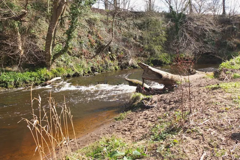 Nearby photo
Campsite · Dalkeith, Midlothian · 9.2 km from Cockenzie centre
Open data · OpenStreetMap
Further afield:
| Town | Distance | Places | Campsites | Aires & parking | Service & water |
|---|---|---|---|---|---|
| Prestonpans | 1.3 km | 5 | 4 | – | 1 |
| Tranent | 2.7 km | 6 | 5 | – | 1 |
| Longniddry | 4.4 km | 4 | 4 | – | – |
| Macmerry | 4.9 km | 4 | 4 | – | – |
| Musselburgh | 6.0 km | 9 | 7 | – | 2 |
| Ormiston | 6.3 km | 5 | 4 | – | 1 |
Counts include places within 10 km of the centre and places whose nearest town is Cockenzie. Data from OpenStreetMap, imported 13 October 2026.About our data
