Bingo Brook Campground
Key facts
- Fee
- Free
- Managed by
- USDA Forest Service, Green Mountain and Finger Lakes National Forests
- Site development
- Rustic (basic facilities)
- Capacity
- 50 people at one time
- Toilets
- No restroom available
- Trash
- Pack it in, pack it out
Water and dump stations nearby
- 28 mi from Bingo Brook Campground, in a straight lineDirections to Water point near Port Henry in Google Maps (opens in a new tab)
- 28 mi from Bingo Brook Campground, in a straight lineDirections to Service point near Port Henry in Google Maps (opens in a new tab)
Straight-line distance from Bingo Brook Campground. "Fee not recorded" doesn't mean it's free.
Services & facilities
- Drinking waterNo
- Waste disposalNot recorded
- ElectricityNot recorded
- ToiletsNo
- ShowersNot recorded
- Wi-FiNot recorded
- Dogs allowedNot recorded
- Wheelchair accessNot recorded
"Not recorded" doesn't mean it's missing.
Prices & opening
Recorded as free to use. Opening hours are not recorded. Check current prices on their website.
Getting there (GPS, access, height)
GPS coordinates
43.87537, -72.91370
Google Maps (opens in a new tab)Apple Maps (opens in a new tab)Waze (opens in a new tab)
No height limit recorded. Check access and signage on arrival.
Reviews & travellers' photos
No reviews yet. Stayed at Bingo Brook Campground? Be the first to tell other travellers what it's like.
Write a reviewAdd photos or video
Reviews, photos and videos come from travellers with a free account. Each one is checked by a person before it's published; see our content policy.
Other places nearby
More in SalisburyWithin 25 km. The nearest water and dump station are listed above.
- Chittenden Brook Campground
Campground · Chittenden5.6 km from Bingo Brook Campground - Little Emma's Sweet Retreat
Campground · Randolph · Paid6.3 km from Bingo Brook Campground - Sunrise Shelter
Campground · Brandon · Free6.3 km from Bingo Brook Campground 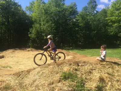 NearbyMoosalamoo Campground
Campground · Salisbury · PaidWaterToilets10 km from Bingo Brook Campground
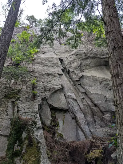
Photo credits for thumbnails on this page (2)
- Nearby: 20180609-FS-GMFL-Moosalamoo Flow Trail and Pump Track · 0.1 km away: Photo: usfs_Eastern_Region, Public domain, Wikimedia Commons
- Nearby: Red Squirrel climbing route at Falls of Lana · 1.6 km away: Photo: Adamfranco, CC BY-SA 4.0, Wikimedia Commons