Sugarloaf Campground
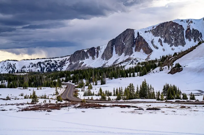 Nearby
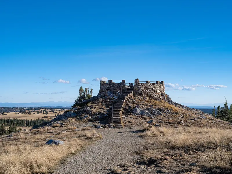 Nearby
Key facts
- Fee
- Paid
Water and dump stations nearby
- 66 mi from Sugarloaf Campground, in a straight lineDirections to Water point near Steamboat Springs in Google Maps (opens in a new tab)
- 36 mi from Sugarloaf Campground, in a straight lineDirections to Service point near Laramie in Google Maps (opens in a new tab)
Straight-line distance from Sugarloaf Campground. From OpenStreetMap: "fee not recorded" means no fee is tagged, not that it's free.
Recreation.gov
Book Sugarloaf Campground (WY) on Recreation.gov
At an elevation of 10,800 feet, Sugarloaf is the highest elevation campground that the Medicine Bow-Routt National Forest has to offer and it is one of the highest elevation campgrounds in the United States. The sites at this location offer a breathtaking panorama of the Snowy Range which peaks out at 12,000 feet.…
- Sites
- 15
- Check-in / out
- 14:00 / 13:00
Book on Recreation.gov (opens in a new tab)Full details
Data: Recreation.gov (RIDB), provided by federal agencies, updated October 13, 2026. Not endorsed by Recreation.gov or the U.S. Government.
Services & facilities
- Drinking waterNot recorded
- Waste disposalNot recorded
- ElectricityNot recorded
- ToiletsNot recorded
- ShowersNot recorded
- Wi-FiNot recorded
- Dogs allowedNot recorded
- Wheelchair accessNot recorded
"Not recorded" means OpenStreetMap has no tag for it yet, not that it's missing.
Prices & opening
A fee is charged. Opening hours are not recorded.
Getting there (GPS, access, height)
GPS coordinates
41.35379, -106.29378
Google Maps (opens in a new tab)Apple Maps (opens in a new tab)Waze (opens in a new tab)
No height limit recorded. Check access and signage on arrival.
Reviews & travellers' photos
No reviews yet. Stayed at Sugarloaf Campground? Be the first to tell other travellers what it's like.
Write a reviewAdd photos or video
Reviews, photos and videos come from travellers with a free account. Each one is checked by a person before it's published; see our content policy.
Other places nearby
More in SaratogaWithin 25 km. The nearest water and dump station are listed above.
- Nash Fork Campground
Campground · Laramie · PaidToilets4.8 km from Sugarloaf Campground - Rob Roy Campground
Campground · Saratoga16 km from Sugarloaf Campground - Lincoln Park Campground
Campground · Saratoga19 km from Sugarloaf Campground - Bow River Campground
Campground · Saratoga · Paid19 km from Sugarloaf Campground
.jpg)
Photo credits for thumbnails on this page (2)
- Ryan Park Campground - Camping in the Medicine Bow National Forest - Autumn in Wyoming: Photo: Tony Webster from Laramie, Wyoming, United States / CC BY-SA 2.0, via Wikimedia Commons
- Nearby: USFS Workers and Wyoming Hotshots - Medicine Bow National Forest · 0.1 km away: Photo: Tony Webster / CC BY 2.0, via Wikimedia Commons
.jpg)
.jpg)